
Capture location data with confidence
BriteScanner is a 3D location data mapping system that helps transport operators to track passenger movements across stations,
interchanges, and services environments.
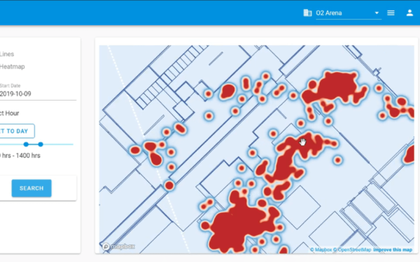
It uses a lightweight smartphone app and a secure analytics dashboard to generate anonymised individual and aggregated end to
end journey insights, without requiring personal data, Bluetooth beacons, or additional infrastructure.
Richer Understanding of Passenger Behaviour
BriteScanner provides a detailed picture of how passengers actually move through the network, far beyond what tap in/tap out data can show.
Privacy by design
The service is built to protect passenger privacy from the outset. It collects no personal data, device identifiers, or user histories.
Better Operational Decisions
With richer behavioural insight, operators can make more informed decisions.
Tailored Customer Experiences
Understanding how different groups navigate the network enables more inclusive and predictable journeys.
Scalable, Future Ready Approach
BriteScanner requires no new infrastructure, making it easy to deploy and scale.
Send download link to:Brochure Indoor Mapping
WM5G Case Study
Send download link to:

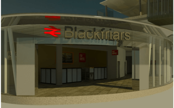
Accurate 3D Indoor Maps

Improved Operational Efficiency
Faster Updates to Digital Environments
Future-Ready Spatial Data
Lower Cost of Map Maintenance
Related articles

Transported to the future….
Huge challenges face the operators of transport hubs over the next decade as the nature of mobility changes. Driverless cars are set to challenge the very need for collective overland movement from one fixed point to another fixed point. There will be no need for...
Retail apocalypse demands tech response
We’re living in the midst of a retail apocalypse. Not a Biblical-style end of-the-world apocalypse, maybe, but one certainly involving “destruction or damage on a catastrophic scale” as one dictionary definition has it. KPMG, the auditing giants, say some 44...

What is an Indoor Positioning System and how does it work?
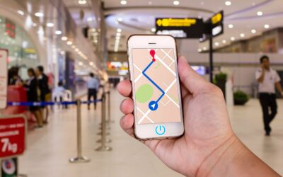
You are no doubt familiar with the concept of using GPS to navigate around the road network using your SatNav. A plethora of smartphone applications and outdoor navigation solutions now sit comfortably in dashboards and phone holders of consumers around the globe. ...