
Capture location data with confidence
BriteScanner is a 3D location data mapping system that helps transport operators to track passenger movements across stations,
interchanges, and services environments.
It uses a lightweight smartphone app and a secure analytics dashboard to generate anonymised individual and aggregated end to
end journey insights, without requiring personal data, Bluetooth beacons, or additional infrastructure.
Richer Understanding of Passenger Behaviour
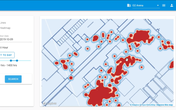
BriteScanner provides a detailed picture of how passengers actually move through the network, far beyond what tap in/tap out data can show.
Privacy by design
The service is built to protect passenger privacy from the outset. It collects no personal data, device identifiers, or user histories.
Better Operational Decisions
With richer behavioural insight, operators can make more informed decisions.
Tailored Customer Experiences
Understanding how different groups navigate the network enables more inclusive and predictable journeys.
Scalable, Future Ready Approach
BriteScanner requires no new infrastructure, making it easy to deploy and scale.
Send download link to:Brochure Indoor Mapping
WM5G Case Study
Send download link to:

Accurate 3D Indoor Maps

Improved Operational Efficiency
Faster Updates to Digital Environments
Future-Ready Spatial Data
Lower Cost of Map Maintenance
Related articles
How Augmented Reality Wayfinding Makes Hospitals More Accessible
Hospitals are places of healing, but for many patients and visitors, simply finding the right department can be one of the most stressful parts of the journey. Complex layouts, emotional strain, and accessibility barriers often turn navigation into a challenge. Augmented Reality Wayfinding (ARW) is transforming this experience, turning confusion into clarity and stress into confidence.

Spatial Intelligence: A New Layer of Care
In healthcare, time isn’t just precious—it’s life-saving. Every minute spent searching for a patient, navigating a complex ward, or responding to an emergency is a minute not spent delivering care. And in today’s overstretched systems, time is the one resource we can’t afford to waste.
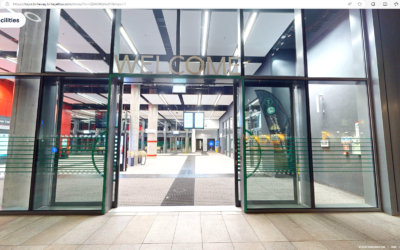
Two Million Journeys, One Vision: Cardiff Bus Interchange Marks a Milestone Year
In just twelve months since its grand opening on 30 June 2024, the Cardiff Bus Interchange has welcomed over two million passengers—a powerful testament to the city’s commitment to seamless, sustainable travel.